
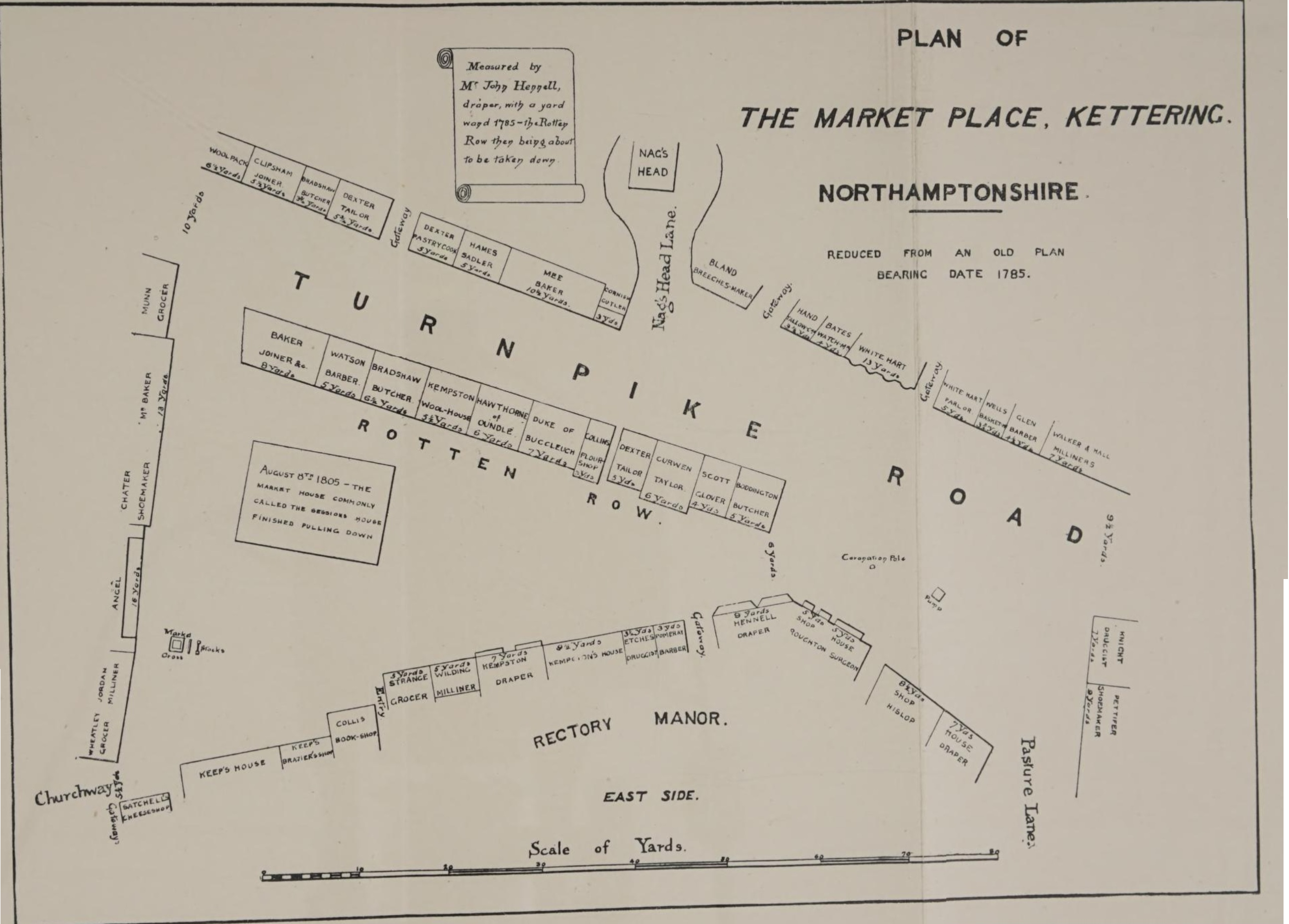
Yards
Yards in the late eighteenth to early nineteenth century were the same as today: 3 feet, or approx 90cm.
In this case, the yards are measuring the shops’ frontages.
The Woolpack
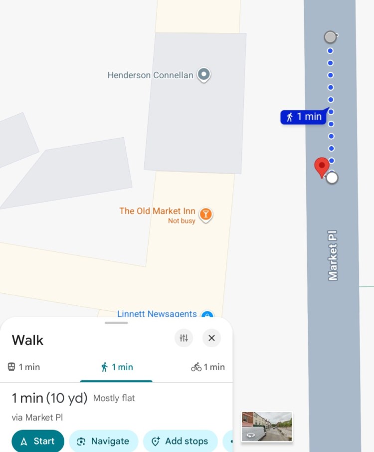
The Woolpack seems to be a previous name for the Old Market Inn. Compare the modern row of shops to the map:
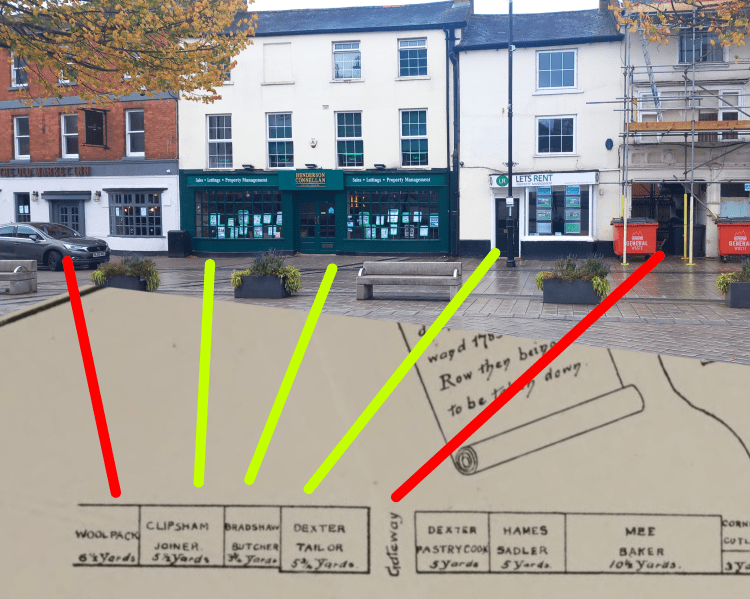
You might note that in 1785, three buildings separated Woolpack from the Gateway, while today there are three. It seems likely that the double-fronted Henderson Connellan was once split between Clipsham’s Joinery and Bradshaw’s Butcher.
This is supported by the measurements – the combined yardage of them both comes up as just under ten yards, which is the length of Henderson Connellan.
Interestingly, the pub which housed Kettering Bridewell (currently Sound Bar, formerly Henry’s) had previously been called the Woolpack Inn.
Rotten Row
Rotten Row once stood in the middle of the Market Place, a line of small shops forming an “island” that divided the Sheep Market from the Butchers’ Row. It was demolished only a few years after the time of this plan to open up the market space.
The name “Rotten Row” was not unique to Kettering: across Britain it was often given to rows of cottages, stalls, or shop lines in market towns.
The origin of the term is debated – some suggest it comes from the French route au roi (“the king’s road”), others that it meant a “ratten” or tumbledown row of buildings.
Turnpike Road
In the 18th century, a turnpike road meant a road managed by a Turnpike Trust, with tolls collected to fund maintenance. These were the main long-distance highways of the time.
This Turnpike Road was the “Thrapston and Market Harborough” stretch.
The mapmaker is marking that this line through the Market Place is the route of the official turnpike road, running north–south through town.
Nag’s Head Lane
Named after an Inn which has since been demolished, Nag’s Head Lane is now called West Street.
Market Cross and Stocks
The Market Cross had a small dungeon beneath it.
