
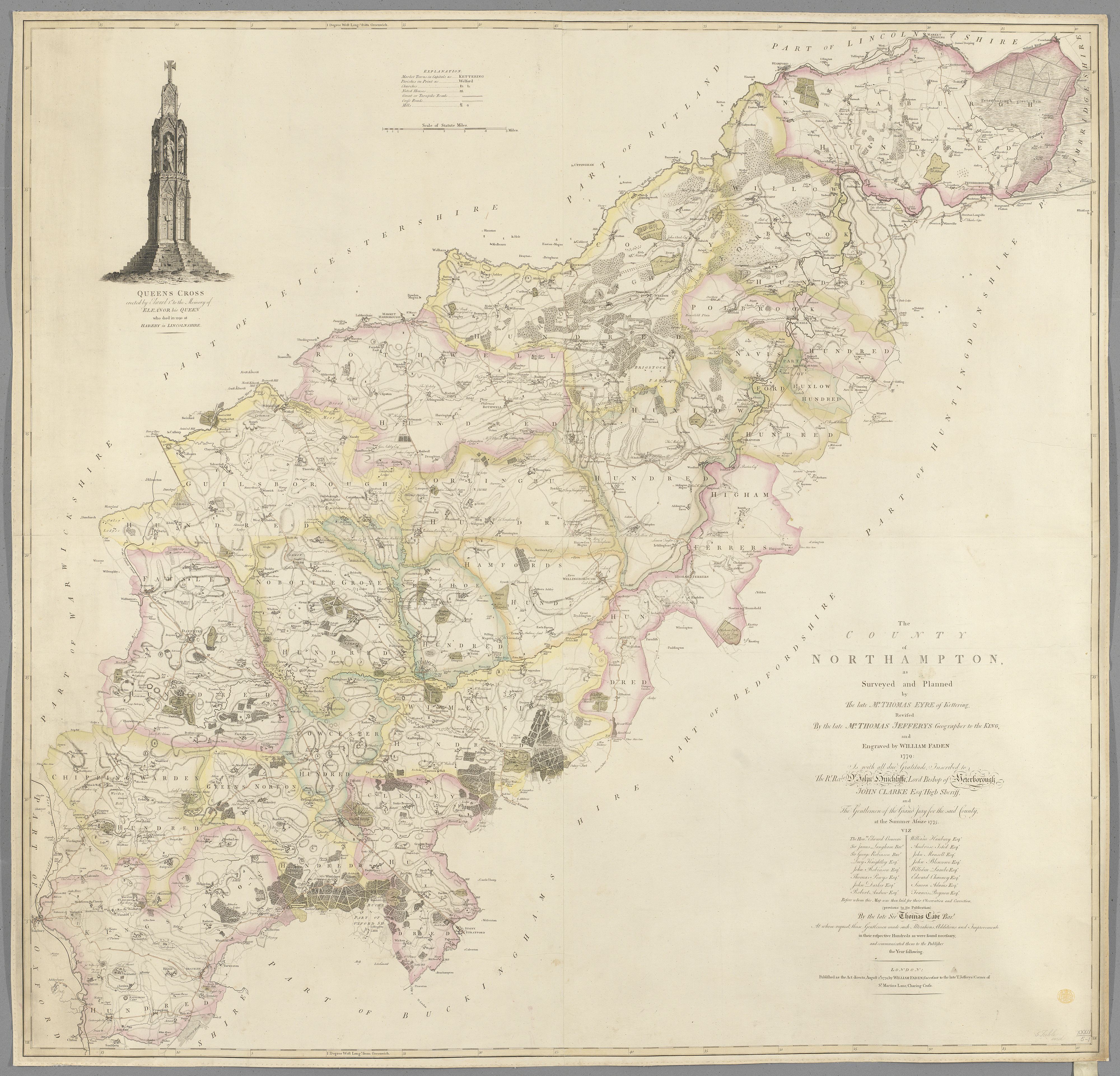
Reputedly the first large scale map of Northamptonshire, it was surveyed and planned by Thomas Eyre of Kettering, and revised by Thomas Jeffreys, who was Geographer to King George III.
It shows Northamptonshire divided into Hundreds, which were administrative and judicial subdivisions of counties. They facilitated tax collection, organised military forces, and held monthly courts to settle local legal disputes.
